Driving on the roads of Gran Canaria is pure pleasure. Beautiful views, good road surfaces, and calm drivers.
Sounds like a fairy tale.
Unless you have motion sickness, that is.
But let's not get ahead of ourselves. Today you'll read about what it's like to drive around Gran Canaria. I'll tell you, among other things, whether driving in the mountains of Gran Canaria is difficult, where you can and can't park on the island, and whether there are toll roads in Gran Canaria.
Driving in Gran Canaria
Before you read about driving in Gran Canaria, check also the below Canary Islands' guides:
🌴 10 things to do in Gran Canaria for unforgettable vacations
🌴 5 hikes in Gran Canaria you need to explore
🌴 8 things to do in Tenerife beyond the beach
🌴 5 hikes in Anaga Mountains, Tenerife
🌴 10 best places to stay in the Canary Islands
🎯 You're also welcome to explore Goal Watch, our other site designed to help you find your perfect small supportive community. Discover small and friendly groups focused on goals of all types!
Basic information
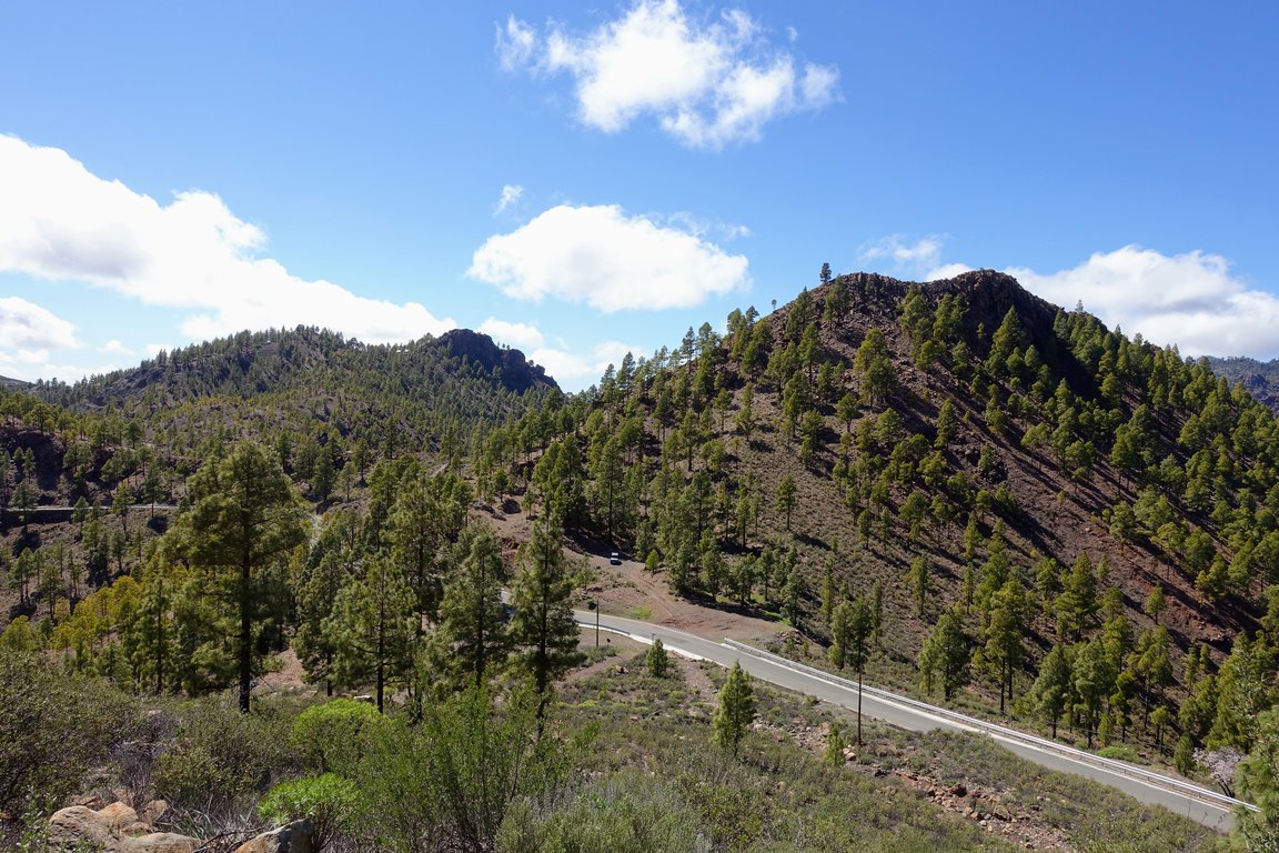
Gran Canaria didn't earn the nickname "Isla redonda" (round island) for nothing. It's a circular island of volcanic origin, located in the waters of the Atlantic Ocean.
On the island, you drive on the right side of the road. You also don't need to worry about vignettes or toll booth fees, because all roads in Gran Canaria are free. Just take your driver's license (no need for an international one) and hit the road.
Gran Canaria drivers
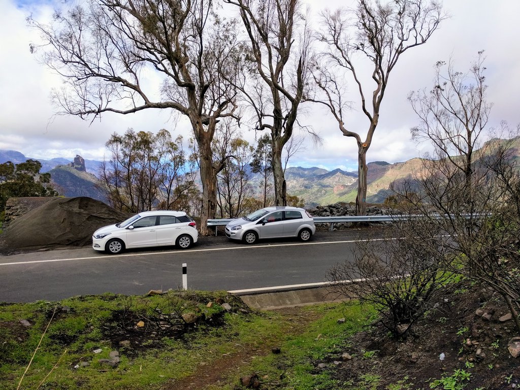
Driving around Gran Canaria is enjoyable, partly thanks to the local drivers. In most cases, they are very understanding of other road users. The driving culture is very high, and giving way to vehicles entering from roads without priority is common. Speed limits are an interesting matter, which the locals strictly adhere to (especially on the island's ring road).
To this whole praise for Canarian drivers, an asterisk must be added:
*it does not apply in Las Palmas de Gran Canaria – it's probably the only place on the island where people are in a hurry, and this influences the driving experience as well.
Places with increased traffic
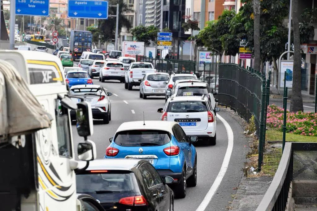
There are primarily two places on the island that can get congested, and the increased traffic can make driving difficult.
The first one is Las Palmas de Gran Canaria. Traffic in the capital can be heavy, and navigating some parts of the city can be complicated. It's also where you're most likely to encounter drivers who don't exude Canarian calmness 😉
The second crowded spot is a section of the GC-1 road, where it merges with the GC-3, heading south. In this spot, the road briefly turns into a five-lane highway. Suddenly, there are more cars around, and many of them change lanes to get into the right one. It's a bit chaotic there.
Gran Canaria roads
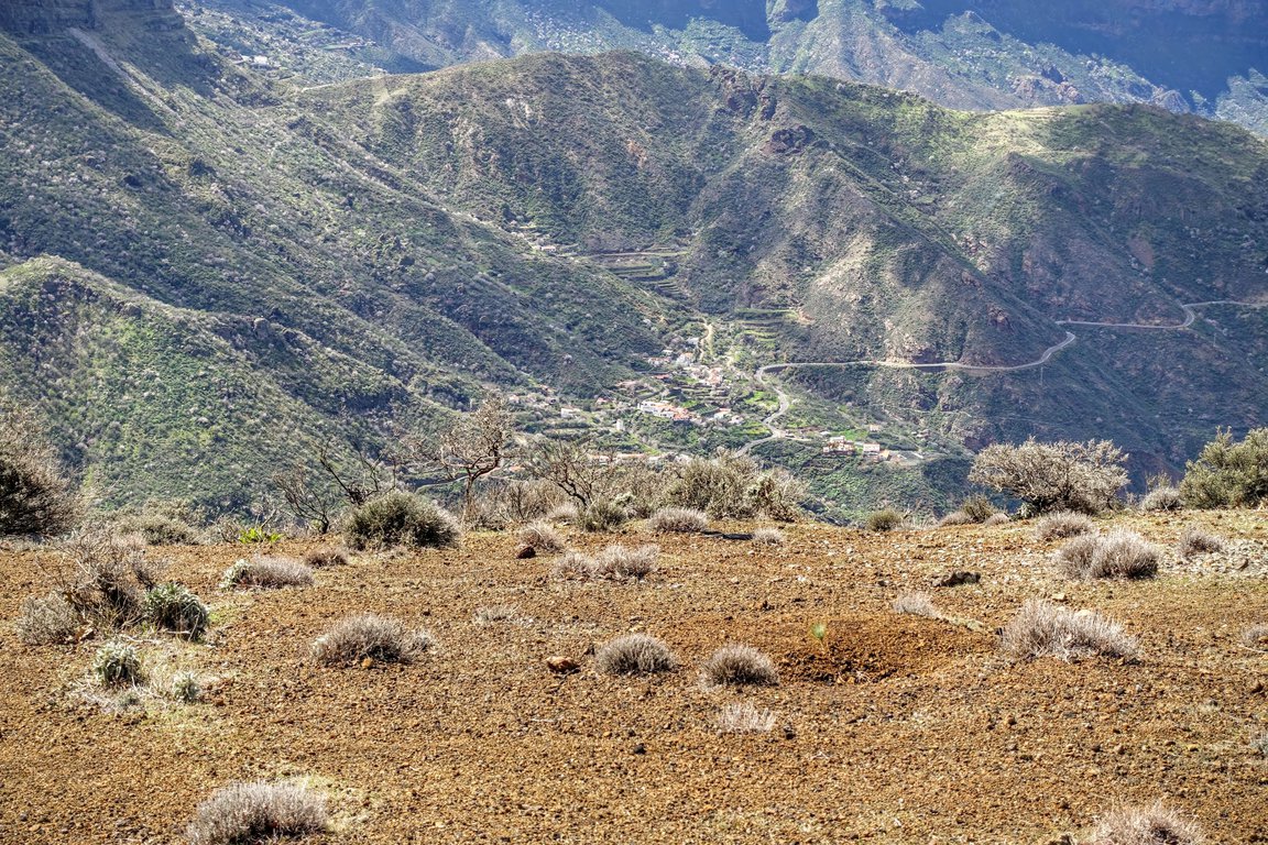
The driving experience you have in Gran Canaria depends on the roads you choose. The island's roads can be divided into three main categories: the ring road, mountain serpentines, and city streets.
Gran Canaria's Ring Road
About 75% of the island's perimeter is covered by a free ring road. It stretches from the town of Agaete, located in the northwest of Gran Canaria, across the entire eastern coast, to the southwest of the island. It ends between the towns of Mogán and Puerto de Mogán.
The road surface is excellent throughout the entire length of the ring road, allowing for travel at higher speeds. What speeds are we talking about? Usually, you can travel at 80-120 km/h. The exception is the area around San Andrés in the north of the island, where you have to drive a bit slower due to the proximity of buildings and the abundance of pedestrian crossings. Speed checks are sometimes conducted in these areas. You will also find some "stationary" speed cameras on the island.
The easiest route between the south and north is via the GC-1 and GC-2 roads. You can slightly deviate from the route and avoid driving through Las Palmas. To do this, a little before the capital, you need to turn onto the GC-3 road. However, we usually preferred to drive through Las Palmas. The travel time is comparable, and the views around Las Canteras beach more than compensate for any potential delays.
Mountain serpentines and the GC-200 Road
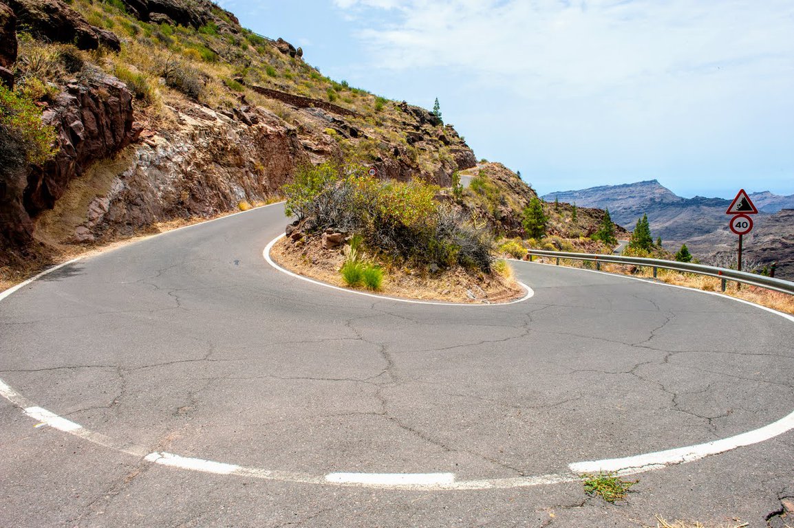
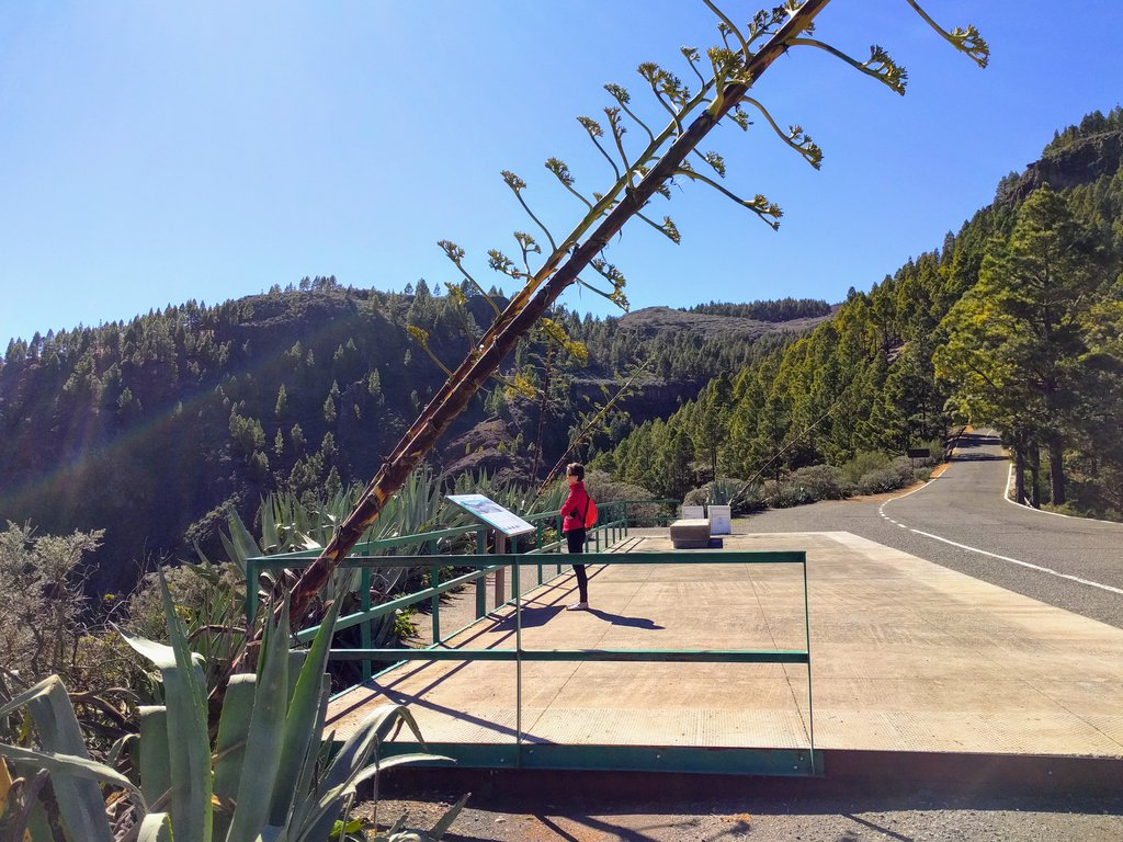
The fun begins when you want to leave the straight coastal roads and explore the mountainous center of the island.
Here's a little explanation. The highest peak of Gran Canaria is close to the geographical center of the island. So you can imagine that in three dimensions, the island is shaped like a cone. Everything between the coast and the peak is the slope of this cone. This can only mean one thing – serpentines and climbs.
On the mountain roads of Gran Canaria, composure will come in handy. Don't take this the wrong way – driving through the center of the island can be a great adventure! The road surface is in very good condition in most cases, which translates to driving pleasure.
However, if you decide to thoroughly explore the island, you will also have to drive on winding roads where cars pass each other within centimeters. Don't count on the locals to slow down specifically for such passing situations – it's an everyday thing for them. This is one of those situations where you'll need calmness and composure.
City roads
You'll find many towns and cities in Gran Canaria, but in terms of driving, they're not particularly unique. Some of them are quite large, like Telde, with extensive infrastructure and traffic lights. Others, like Tejeda, you can drive through in 2 minutes.
Driving around the capital is a different story. Las Palmas de Gran Canaria has the most developed road infrastructure. This, of course, translates to the number of vehicles and a slightly more complicated way of getting around the city. Especially since there's no shortage of one-way streets.
What I want to highlight here, however, is parking. If you come to Las Palmas by car, you'll notice that there aren't many street parking spaces, and even fewer free ones. It's best to look for parking spaces in large, ground-level or above-ground parking lots, of which there are plenty in the city.
Risks of driving in Gran Canaria
Here are some threats which you may experience while exploring the island:
Landslides and falling rocks
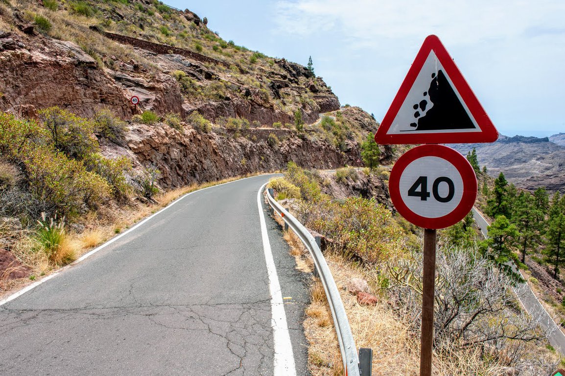
Due to its origin, Gran Canaria is a very rocky island, and roads often lead along high rock formations. Falling rocks detaching from them are not uncommon. When driving a rental car, you don't have to worry about any damage, as it's covered by insurance. However, for your own safety, observe the roadside and avoid places where you can see that rocks are regularly falling.
After heavy rains, landslides can occur. As a result, some roads may be closed – as a precaution or due to damage. You need to be aware that detours in the mountains can be time-consuming.
No driving in the rain
On some roads, you will encounter signs informing you that driving in the rain is prohibited. This is, of course, dictated by safety concerns. Not all roads in Gran Canaria have barriers, while on others, the terrain combined with a wet surface could create unnecessary danger.
Does it rain often in Gran Canaria? It depends on the season and location. We discussed the weather in a separate article, and we address this topic there.
Snow
Yes, you can experience snow in Gran Canaria. It doesn't happen every year, but under (un)favorable natural circumstances, snowflakes can appear for a moment in winter at the top of the island – around Pico de las Nieves.
Rental cars don't have winter tires, so it's better not to venture into the high mountains on summer tires in such conditions. Especially since the opportunity to see snow is quite an adventure for the locals, so they flock in search of the white fluff.
Animals
You don't have to worry about deer jumping out from behind trees, but it's worth being aware of the presence of other animals. Which ones?
During the day, you can encounter farm animals like goats or sheep on the road. I mean both stray, single animals, and entire herds heading to the pen. After dark, watch out for hares and hedgehogs on the roadsides. There can be a lot of them!
Parking rules in Gran Canaria
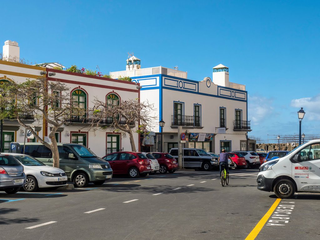
The colors of the lines on the roads tell you where you can park in Gran Canaria:
- white line – free parking
- blue line – paid parking
- yellow line – no parking
These rules apply mainly in cities. Outside the cities, you may still encounter yellow lines to mark places where parking is prohibited. However, remember that a large part of Gran Canaria is wild and uninhabited. In the mountains, you won't always find markings on the roads.
Gran Canaria scenic drives
The island offers numerous scenic roads that showcase the island's diverse landscapes, from volcanic mountains to coastal cliffs.
Let's have a look at Gran Canaria roads which offer the most impressive views and excitement. All of them can be traveled in both directions. These routes connect with each other and can be completed in one day.
GC-200
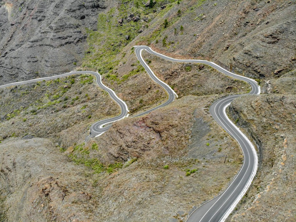
One of the most renowned roads on the island.
The route starts in Agaete, just beyond the roundabout before the town center. Currently, a part of the GC-200 road is closed. Therefore, from Agaete, you can only reach El Risco, and then you need to take the GC-2 road. After driving a section of GC-2, which leads through Tamadaba Park, you can again turn onto GC-200 and head to the Mirador del Balcon viewpoint. Right next to the viewpoint, there's currently a sign indicating a dead end. From Mirador del Balcon, you need to return to GC-2, turn onto GC-200 after some time, and continue driving towards Mogan.
Along the way, I highly recommend making a stop at Los Azulejos, a place where you can admire colorful rocks with the naked eye. They are located right by the road and are certainly one of the most interesting sights on the route. The route ends near the town of Puerto de Mogan in the south of the island.
If you suffer from motion sickness, it's worth taking some medication before the drive. It's beautiful here, the views are breathtaking, so it's a shame to waste time feeling unwell. From my experience, GC-200 is the route where, after a long absence, my motion sickness returned with double force. I haven't seen such a winding road in a long time! For fans of driving on curves, it's a real treat.
GC-210
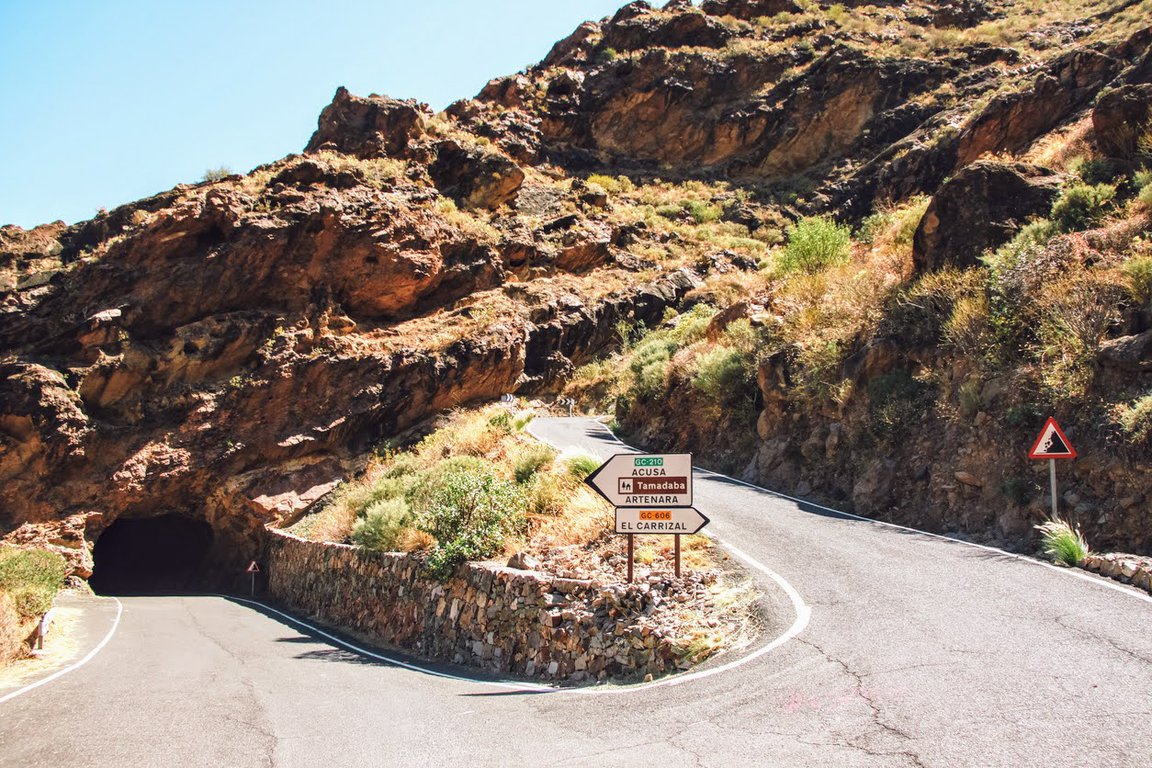
The GC-210 road is undoubtedly one of the most winding and narrow routes that Gran Canaria has to offer.
The route begins in La Aldea de San Nicolas. Right after leaving the town walls, we enter a narrow road and climb up in serpentines. Initially, the route stretches between the high walls of ravines. From time to time, you can admire colorful rock outcrops.
Due to the fact that it is very narrow here, and the turns are tight, I recommend being cautious. Above all, be vigilant on the section near the concrete dam Presa del Parralillo. It's better to put your bravery in your pocket there and take your foot off the gas. Before each turn, you should honk, signaling your presence to drivers coming from the opposite direction. You also need to watch out for possible rock fragments that occasionally roll onto the road.
After overcoming the serpentines and tight turns, it's worth driving up to the Mirador del Molino viewpoint. It's a characteristic place with a round tower that can be seen from afar. From Mirador del Molino, there is a very nice view of the route, the Presa del Parralillo reservoir, as well as the Roque Nublo and Roque Bentayga monoliths. Continue driving towards Acusa Verde, from where you can also enjoy a beautiful view of the aforementioned monoliths. Along the way, you pass interesting towns where houses are built into the rocks.
When you reach the outskirts of Tamadaba Park, a sad sight will appear before your eyes. In August 2019, there was a fire in this area, which consumed over 10,000 hectares of forest. The effects are still visible today, including destroyed road signs, melted roadside reflectors, and burnt trees.
The GC-200 road ends near Las Crucitas. There, it connects with the GC-60 road, which will lead you to Roque Nublo.
GC-605
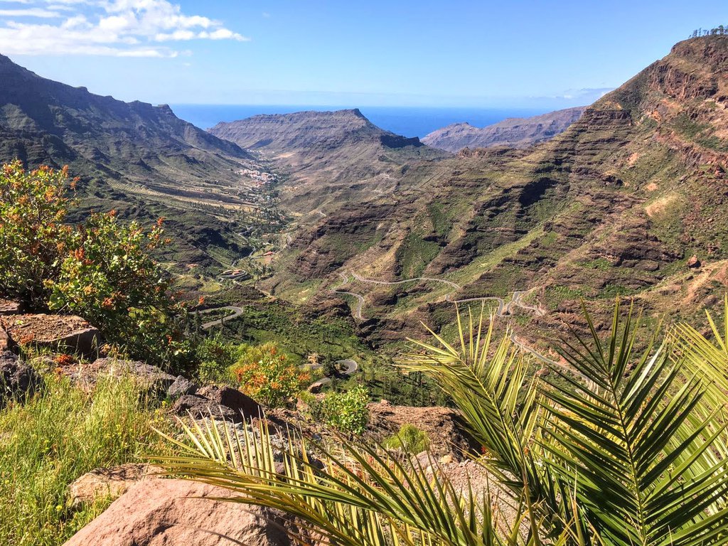
The GC-605 road begins at the intersection with the GC-200 route near Barranco Mogan.
The first section of this route takes us above the ravine. It's also the most beautifully laid out section of the road, and thus the most winding part of it. In several places, the route leads between rocks specially cut for its construction. Serpentines and narrow turns continue until the Mirador El Mulato viewpoint. In our subjective opinion, this section of GC-605 is the most beautiful route on the island.
Next, GC-605 leads along the Inagua nature reserve, where there are very nice trekking trails. In Inagua, you can make a stop for a picnic or a walk. Zona Recreativa Presa De Las Niñas offers free parking, toilets, grills, tables, and benches. There is also a seasonal lake in the area. From Inagua, the route continues towards Ayacata, where it connects with the GC-60 road.
GC-606
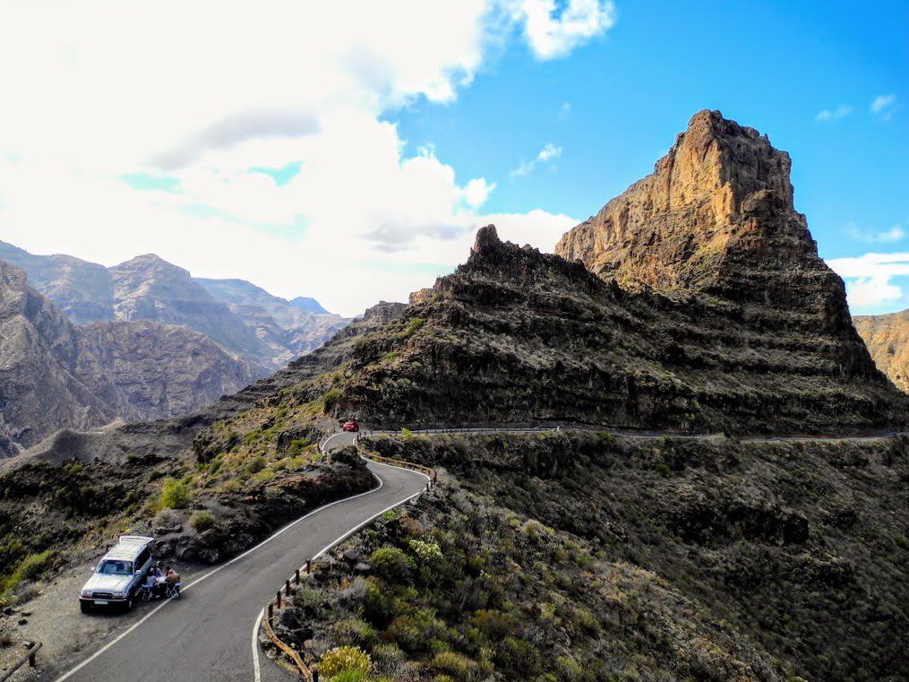
The GC-606 road begins at Lomo del Aserrador and leads all the way to Presa del Parralillo. There it connects with the GC-210 road, which leads to Mirador el Molino, among other places.
The route is beautiful, but also dangerous. It's very, very narrow. Additionally, there are almost no safety barriers on this road. Before turns, you should signal your presence with the horn. Passing each other at any point on the route is impossible! If you see a car coming from the opposite direction and have the opportunity to pull into a layby, I recommend doing so immediately. This way, you'll avoid stressful situations on the road.
The views from the GC-606 road are really nice! In good weather and clear air, you can beautifully see Roque Bentayga, Roque Nublo, the tower at Mirador el Molino. It's worth stopping at the viewpoint at Mirador El Toscón, right next to Risco Palmés in the town of El Toscon (the hill with the white chapel). From this place, you can see Tenerife perfectly, and the Palmés Cliff with its volcanic neck is within reach.
Since the route is very winding, I recommend that people suffering from motion sickness take some medication. You can also sip water with ginger – it should bring relief.
Car rental in Gran Canaria
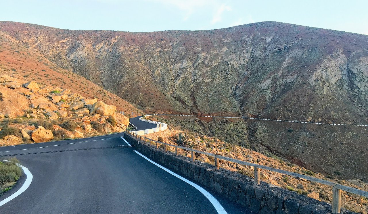
The best way to explore the island is to rent a car. Car rental companies in Tenerife are customer-focused and offer competitive rental prices due to the high level of competition.
We always book with Discover Cars for our trips and have had no problems with them. The choice of vehicles is wide, the rental process is easy. Cars are clean.
You can check available options and deals here:
Best places to stay in Gran Canaria
I've researched the highest-rated hotels in Gran Canaria on Booking.com in the most convenient locations. These are affiliate links - we'll get a small commission if you book a stay using one of these links (at no extra cost for you).
If you'd like to discover other beautiful places to stay in the Canary Islands check this travel guide.
Maspalomas

This one will be perfect if you enjoy popular tourist resorts. Located in the south of Gran Canaria, Maspalomas is a bustling tourist hotspot near the famous Playa del Inglés beach. While its central location is great for exploring and hitting the beach, it might be a bit too lively if you enjoy tranquility.
If you're looking for a comfortable stay near the beach, the Riu Palace Oasis is a fantastic choice. This highly-rated hotel offers a peaceful atmosphere, spacious rooms, delicious food, and even a spa and swimming pool.
San Agustín
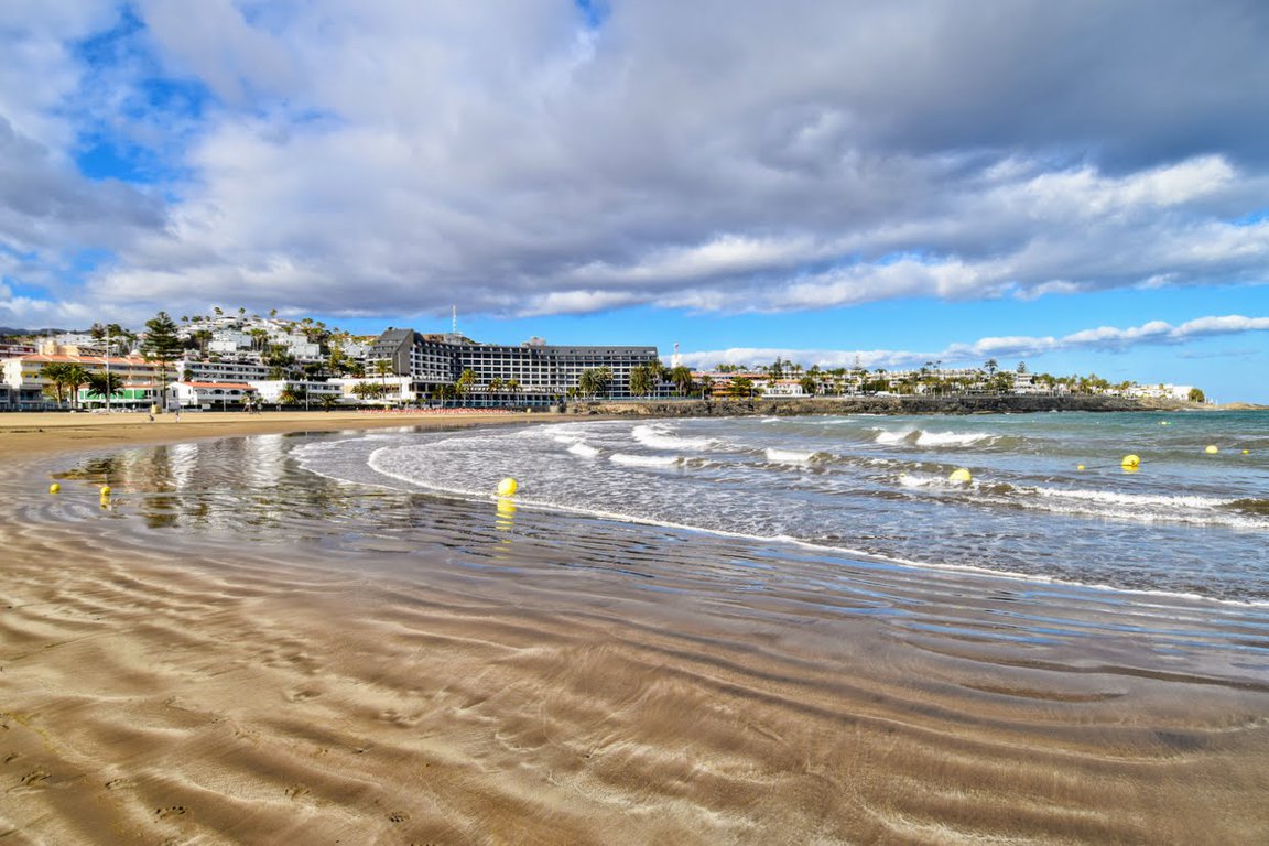
For a more tranquil escape, consider San Agustín, a peaceful resort with golden sand beaches like Playa de San Agustín and Playa de las Burras. It's conveniently located just a short distance from Maspalomas.
If you're looking for a comfortable stay near the beach, the Hotel San Agustin Beach Club is a fantastic choice. Guests appreciate the convenient location right next to the beach, comfortable rooms and super friendly staff.
Tejeda
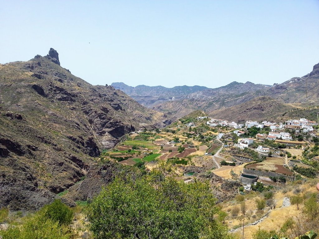
Tejeda, a mountain village located on 1,046 meters above sea level, is an adventurer's paradise and a must-visit in Gran Canaria. Offering a refreshing escape from the coast, it's the perfect base for exploring the island's central region.
Whether you're into hiking rugged trails, taking scenic drives, or simply soaking up the stunning mountain views, Tejeda won't disappoint.
For a truly unforgettable experience, stay at the Parador Cruz de Tejeda. This beautiful hotel offers incredible views, delicious meals, and a relaxing spa area.

